"To provide sustainable and quality services in collaboration with clients and stakeholders"


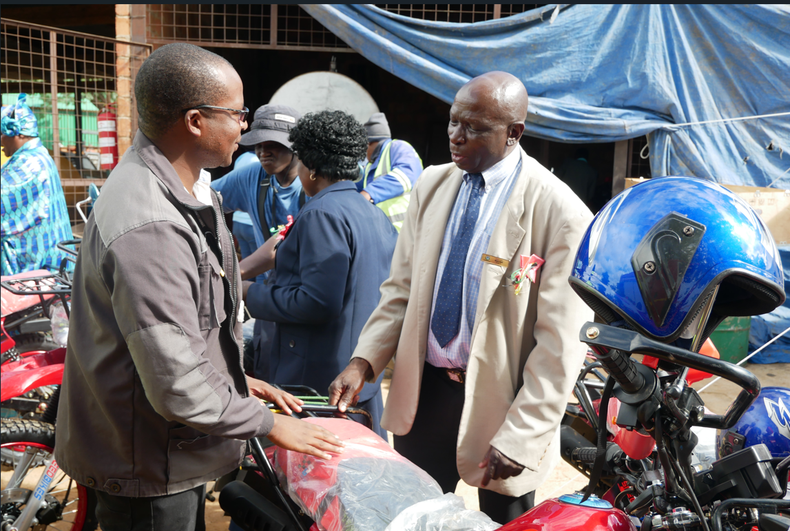
sustainable agro-based industries, tourism development, and resource-driven economic growth..Umzingwane District presents significant investment opportunities driven by its rich natural resources, strategic location near Bulawayo, and strong agricultural potential. The district has growing prospects in tourism through its cultural heritage sites, scenic landscapes, and eco-tourism activities linked to the Matabeleland region. Mining remains one of the major economic drivers, particularly in gold and other mineral resources, creating opportunities for formalized mining operations and mineral value addition. In agriculture, the district offers vast potential for cattle ranching, dairy production, horticulture, irrigation farming, and small grains production, supported by available grazing land and existing farming communities. The increasing focus on renewable energy also makes biogas production a viable investment opportunity, especially through the use of livestock and agricultural waste to generate clean energy for rural communities and agro-processing industries. With ongoing efforts by the rural district council to attract investors, Umzingwane is positioned to become a hub for sustaEnglish
Umzingwane is located in the North eastern part of Matabeleland South province, and shares boundaries with Gwanda to the south, Insiza to the East, Umguza to the North and Matopo to the west. The central business district of the District, Esigodini, is only 42km from the second Metropolitan City of Bulawayo which is connected through the national road – that links the country to the southern inland ports in South Africa as well as Mozambique, that is the Bulawayo-Beitbridge Road which is also the Bulawayo Mutare Road. The same road also links the district and country to the central and north Africa. Tourists from South Africa, using the road , pass through the district before going to one of the seven wonders of the world, Victoria Falls. The district boosts of a population of 62 990 according to the 2022 census ,household size of 4 and settled on a land area of 7 220sq.km but total arable land is 33 000 ha. The district is the mostly densely populated in the province with 50persons per square kilometer in the communal lands. The district has a total of 20wards, which can be separated into the North, Central, East and West regions. The district falls under AEZ III, IV and V. With regions III and IV typically receiving 450 to 650mm of rainfall. The latter is subject to periodic seasonal drought spells receiving no more than 400mm of annual rainfall. .